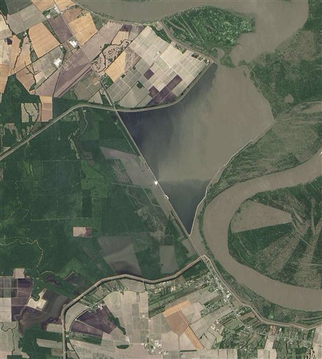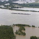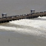
This true color image captured by the Advanced Land Imager instrument on NASA’s Earth Observing satellite on Sunday, May 15, 2011 shows the Morganza Spillway located 45 miles northwest of Baton Rouge, La. To take pressure off levees near Baton Rouge and New Orleans, engineers have opened two major spillways, releasing water at the Morganza spillway over the weekend. (AP Photo/NASA)
Mississippi River Flooding